Hi there, I have found some very interresting minerals when out rockhounding in my backyard in Norway, and they are kind of a puzzle to identify. So I Wonder if someone can help. Im not saying a whole lot of what I think yet, but they are found in a location just a few kilometers away from an actual emerald mine and the area is well known for both iron, emeralds, and not far from where there once was an old goldmine.
This is the writings telling something about the geological history of the area when searching for mjosa area in Wikipedia:
Geologically, Mjøsa is a complex area consisting of, among other things, Permian deep rocks, Permian sandstone (sparagmite), gneiss, granite, slate and limestone.[12][20][21]
There is a high radon risk in parts of the area.[22][23] Alum shale from bedrock and loose masses[24] is the main source.[25] The alum shale was formed in the late Cambrian and early Ordovician. Uranium-rich granite and granitic gneisses are also possible sources. In some areas on both sides of Mjøsa, the advice is to exercise “particularly high caution”[26]
Mjøsa is located in a valley that has been dug out of the ice through several ice ages. The geological process that created the underwater valley is the same as for a fjord. A glacial arm roughed out mass, leaving a rock sill and an ice front delta damming the lake.[27] Moraine deposition from the glacier front on Mjøsbreen 9,200 years ago has formed the Minnesundtrinnet, a broad front delta formed by the glacier rivers.[28] Mjøsa is a flooded, over-deepened U-valley. The over-deepening means that the bottom in the inner part of the fjord is deeper than at the mouth.[29] Mjøsa is a so-called fjord lake[30][31]
Mjøsa’s greatest depth is 453 metres, outside the steep Skreiaberget (Skreiafjellet).[13] The bottom is therefore more than 300 m below sea level. The reason lies in the fact that the lake was formed by glacial erosion, which is the only erosion process that allows the bottom to remain below sea level.[32]
The sea’s highest level since the last ice age, the marine boundary, is measured at 192 m above sea level. at Minnesund[33][34]. To the north in Mjøsa and in areas around Mjøsa that lie below a calculated marine boundary, there is “little or no marine influence”. The ice front lay at Minnesund and blocked the sea. The uplift was large during the ice melt. When the fjord basin became ice-free, the land had risen so much that the sea’s shoreline was lower than Mjøsa.[35] The area from Minnesund southwards to the sea is characterized by marine influence on areas below the marine boundary.[33] South of Minnesund lay what has been called “Romeriksfjorden”, the sea stretched to Mjøsbreen south of Mjøsa and to the northern end of Lake Hurdalsjøen.[28]
A little north of Minnesund, there are emerald mines that were operated for a few years around 1900.[36]
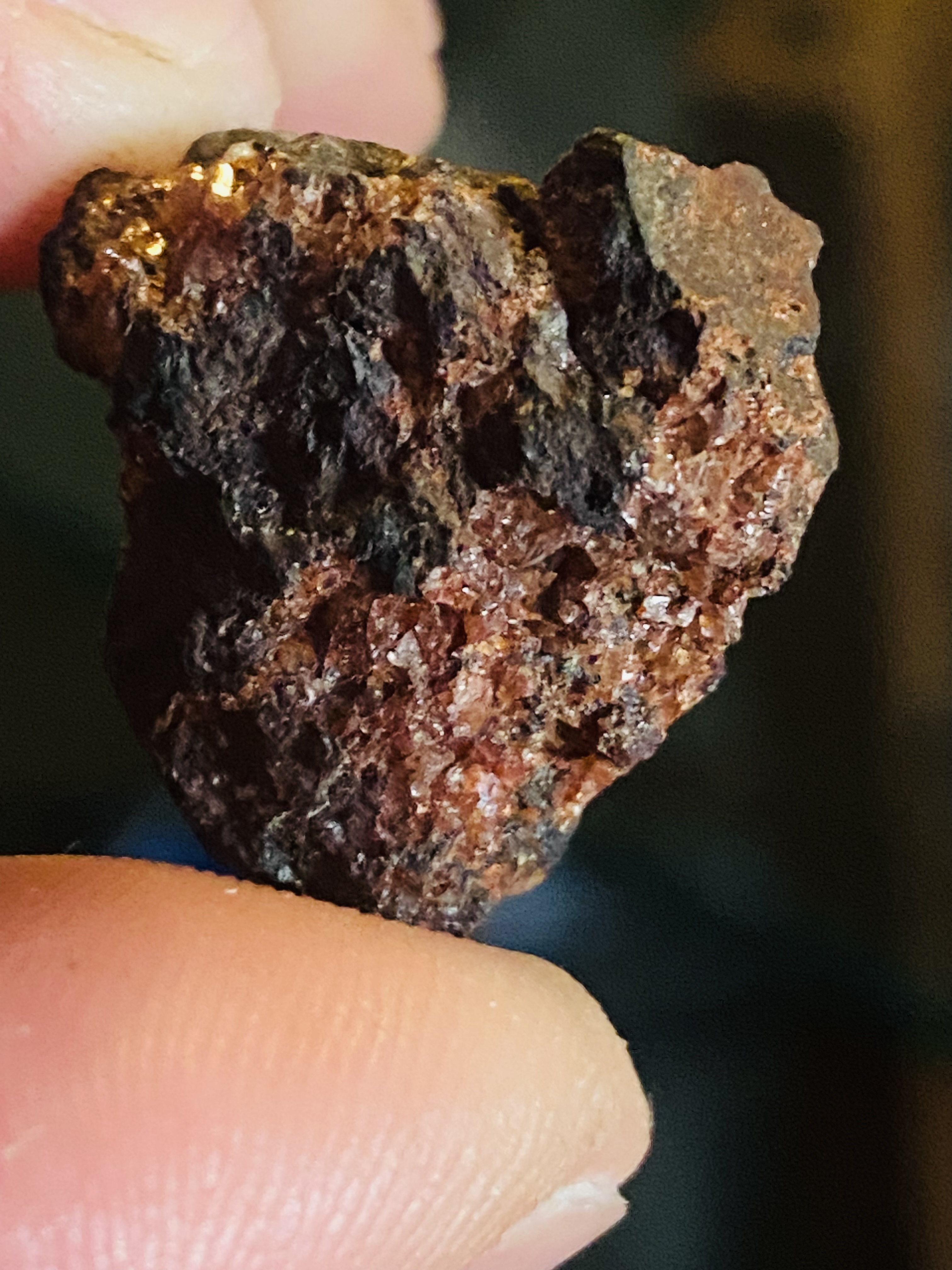
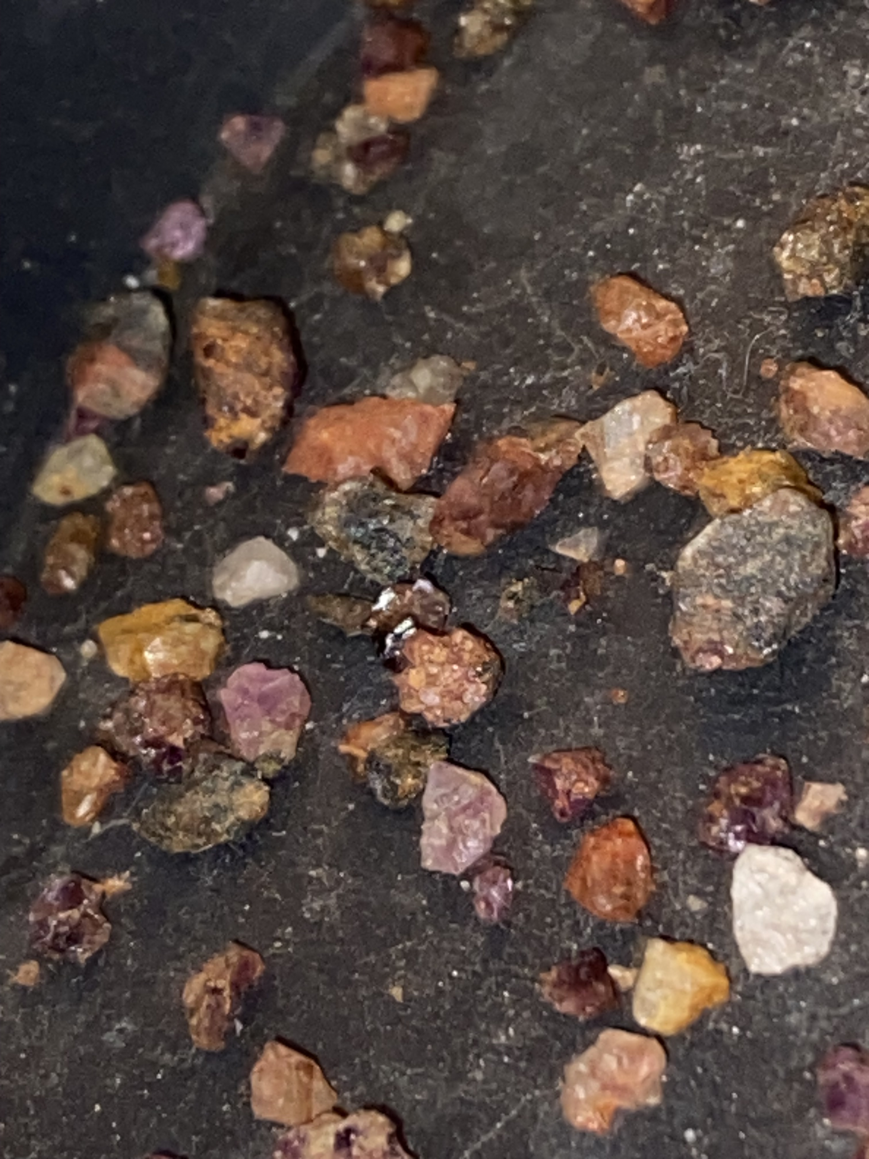
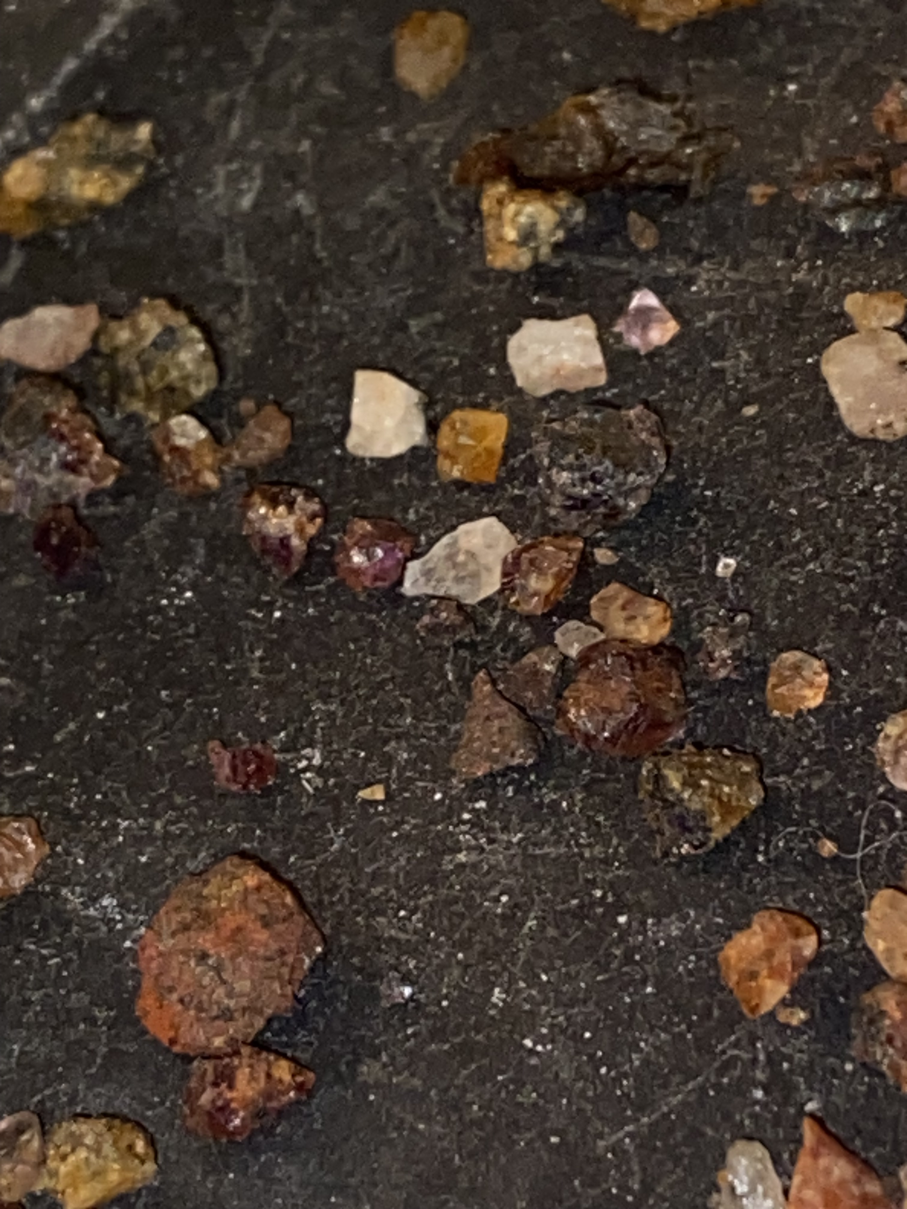
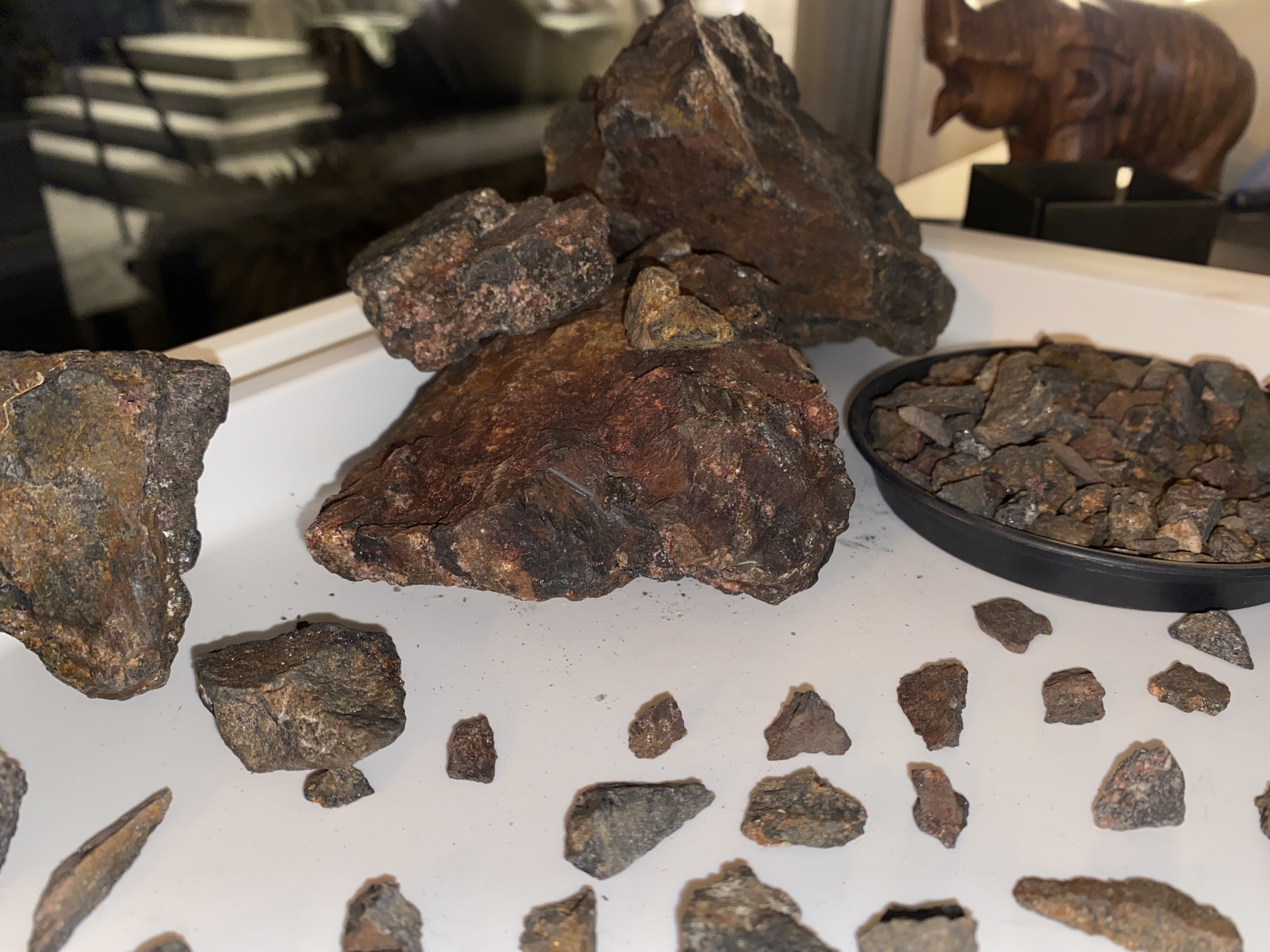
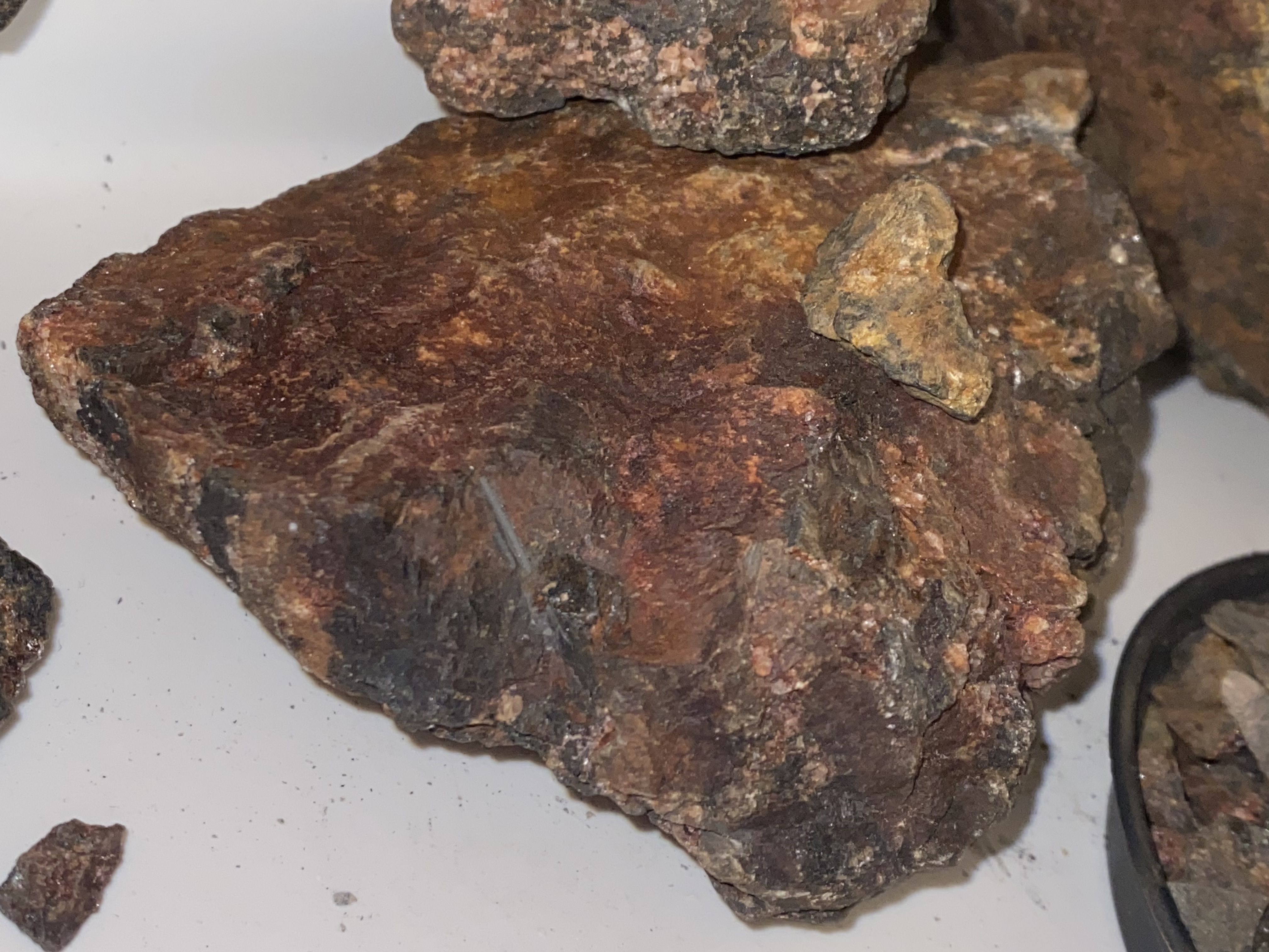
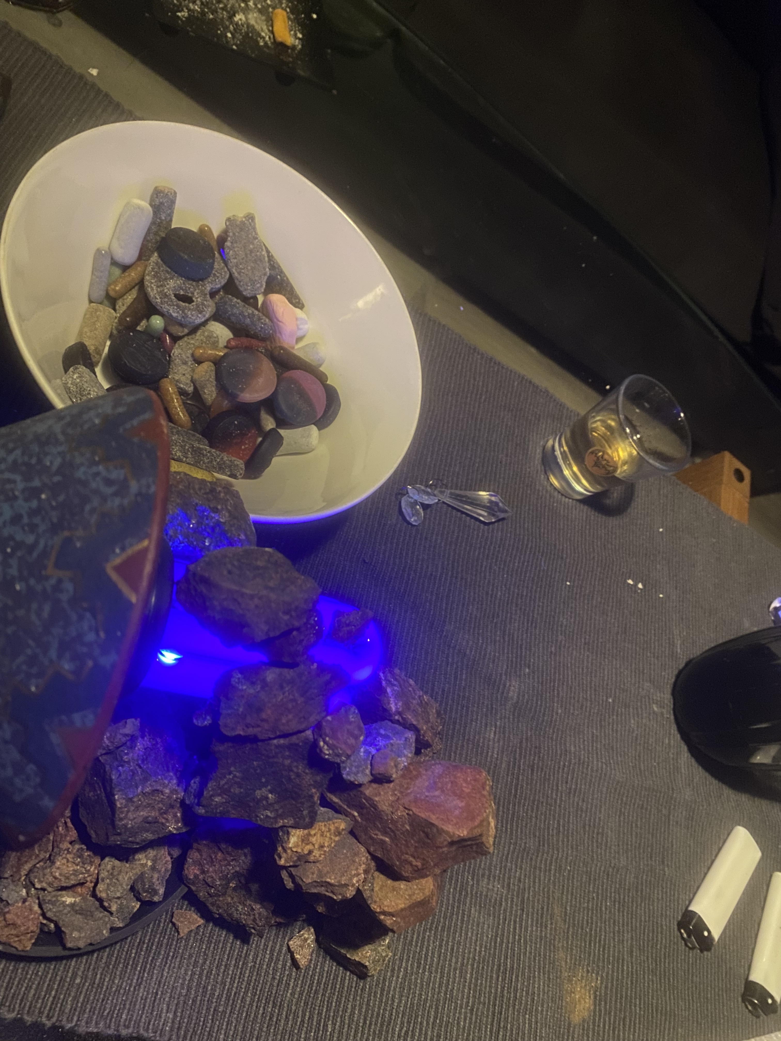
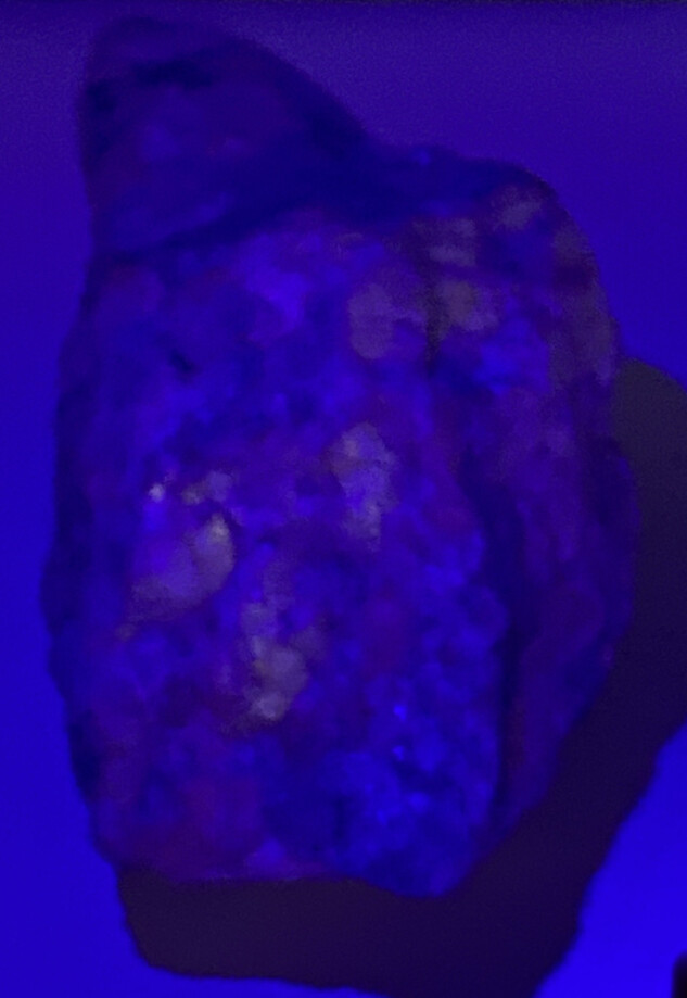
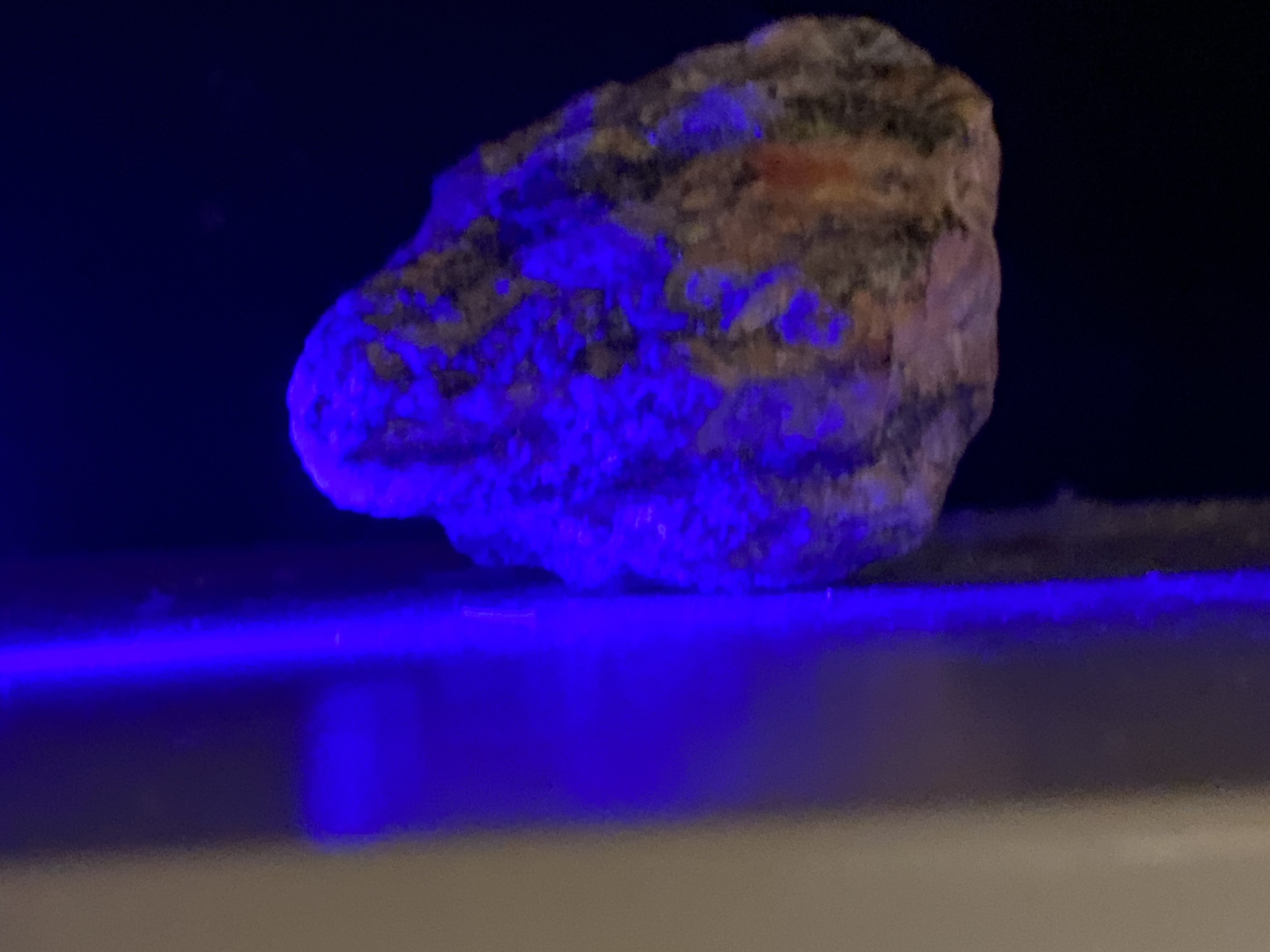
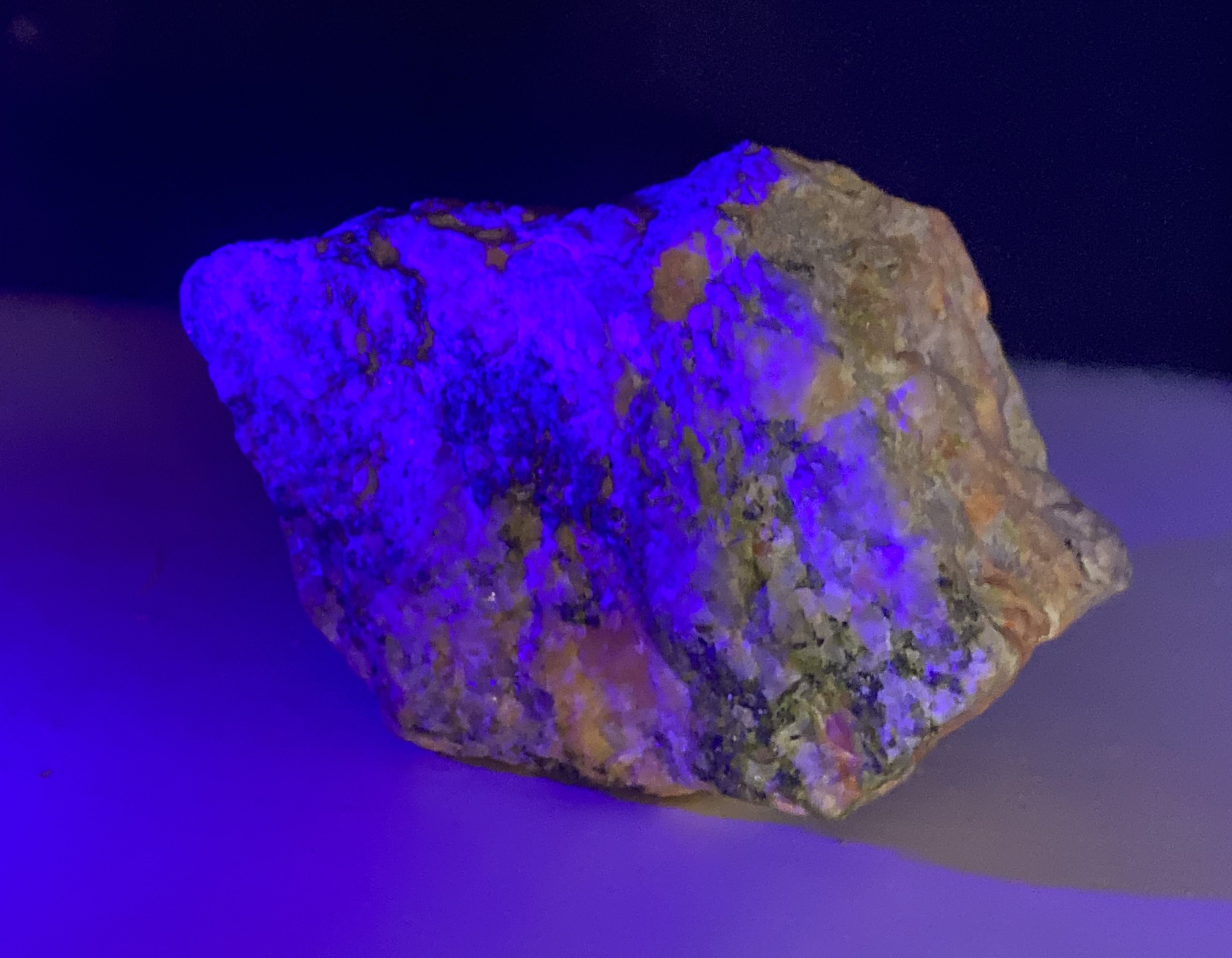
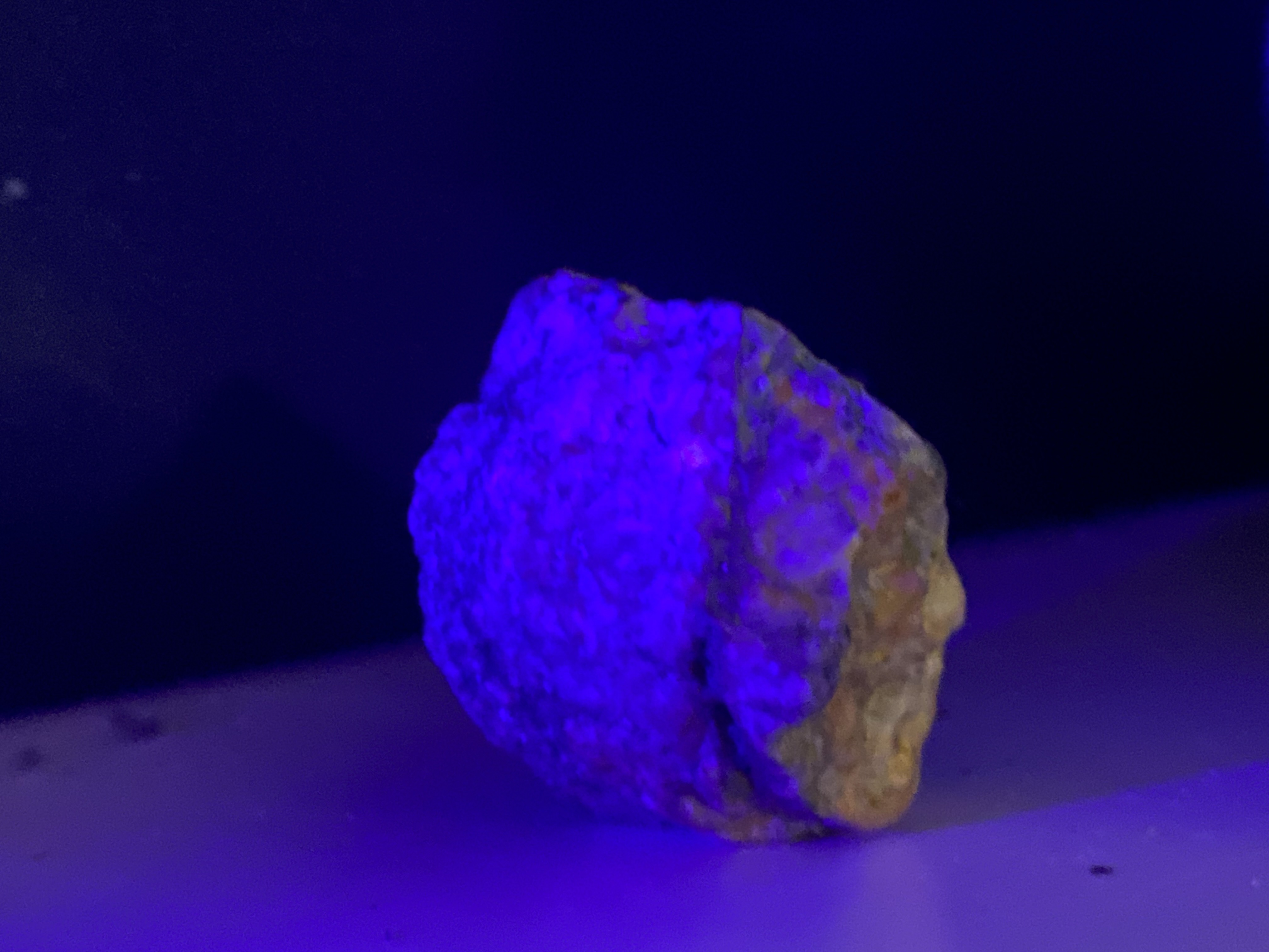
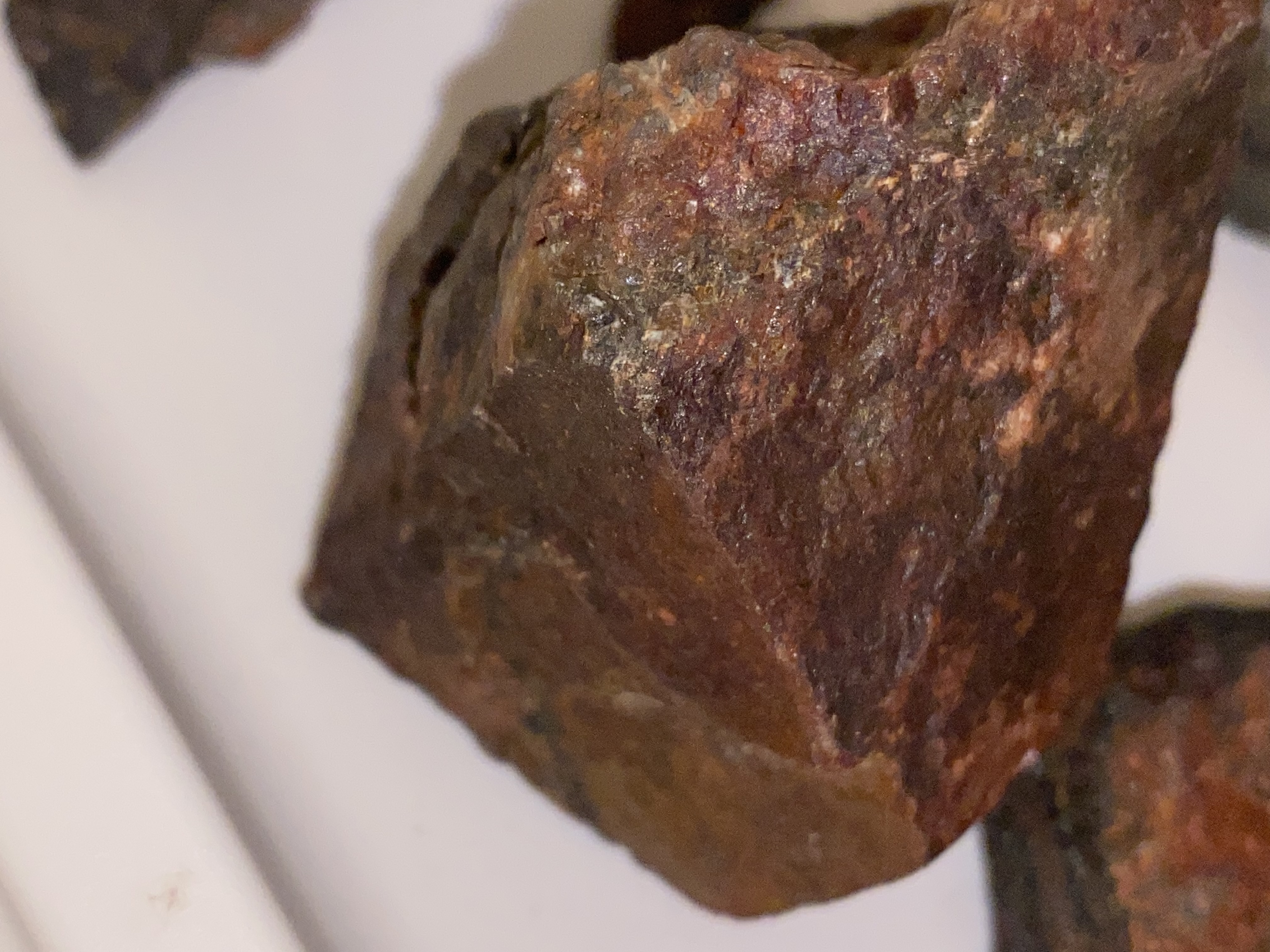
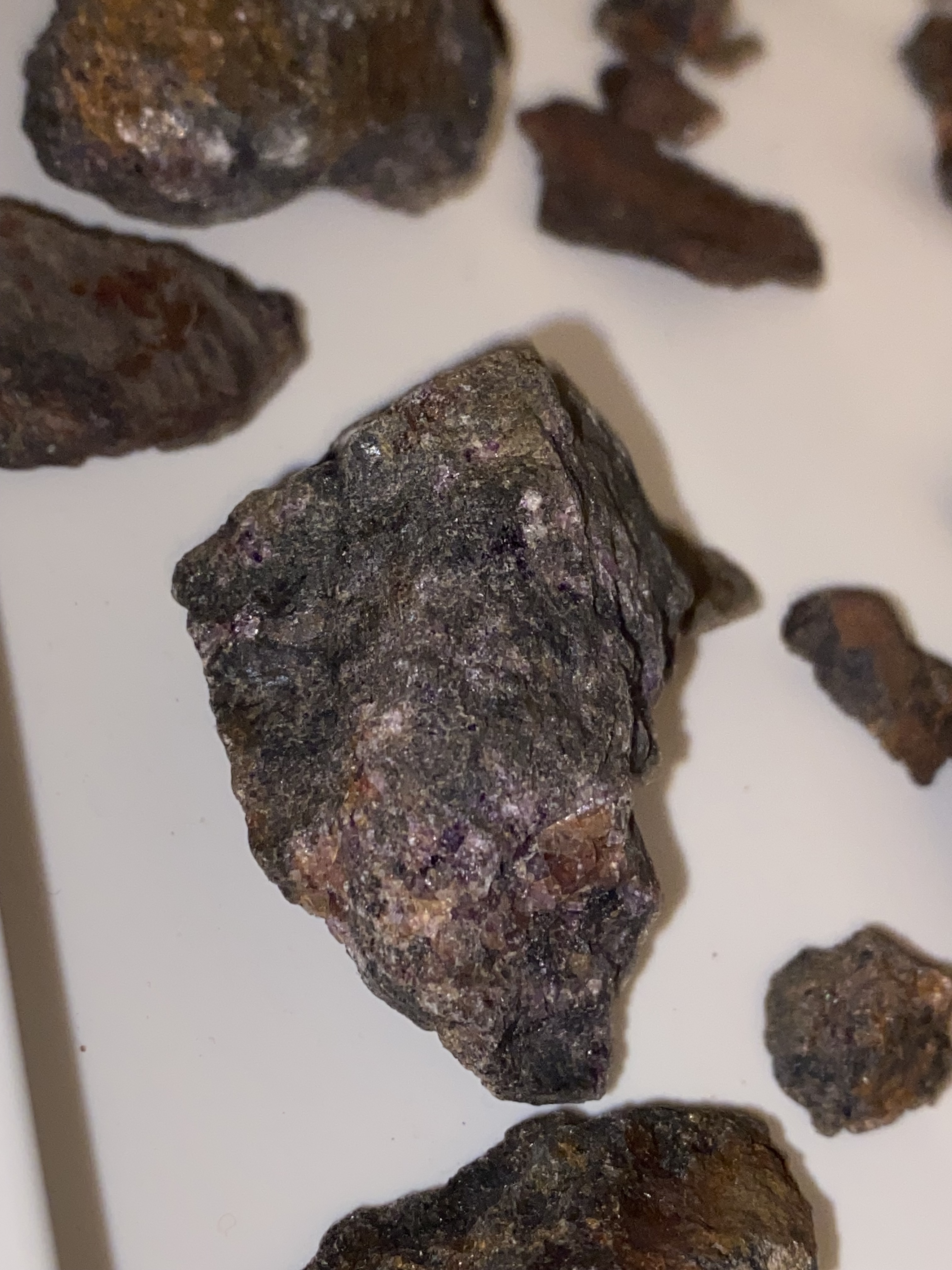
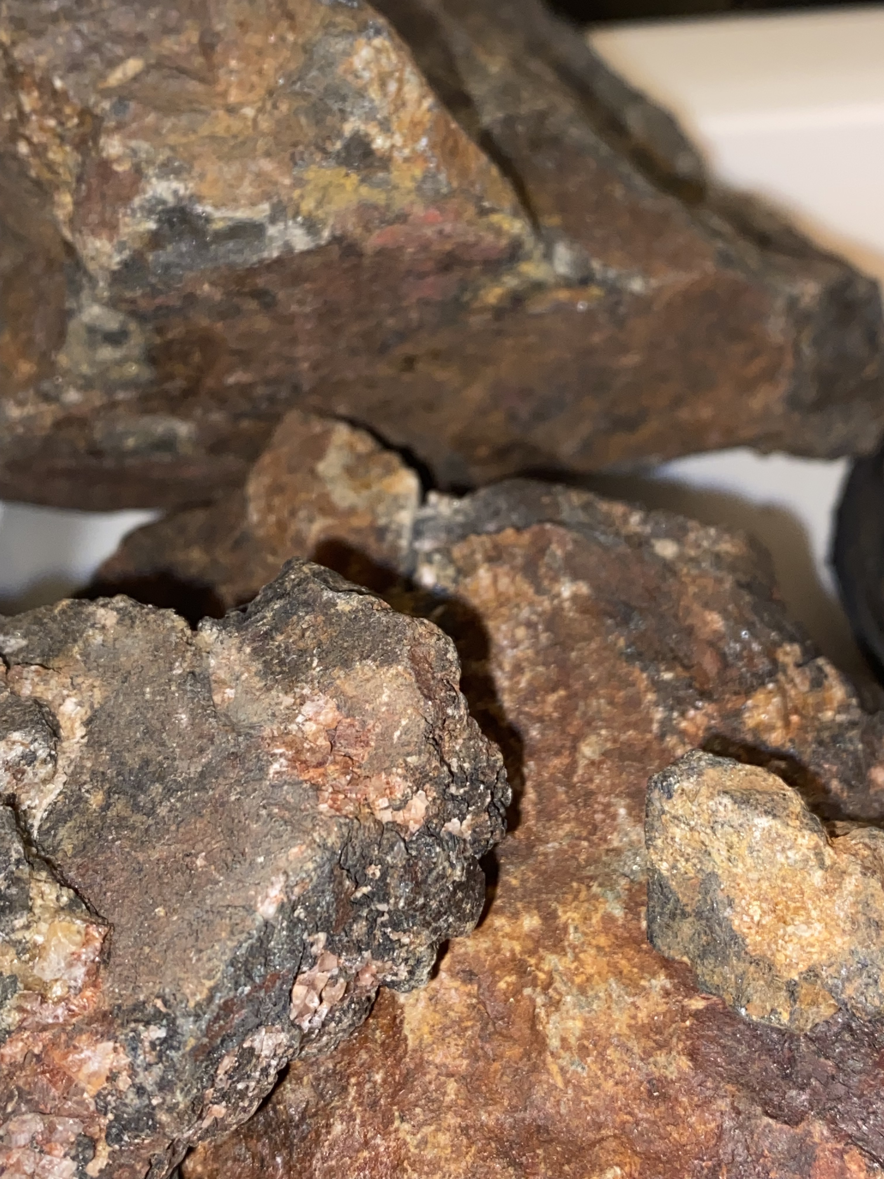
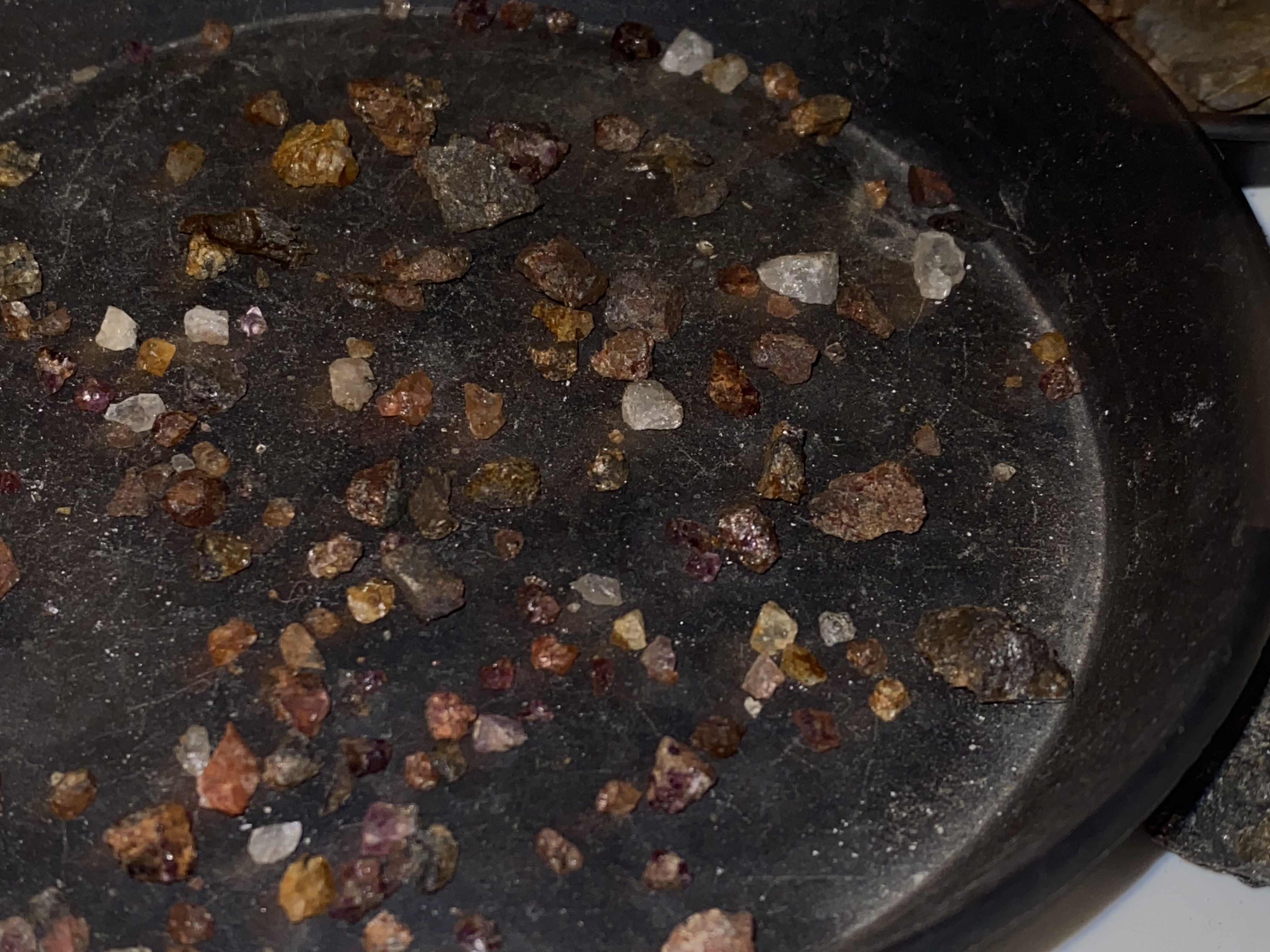
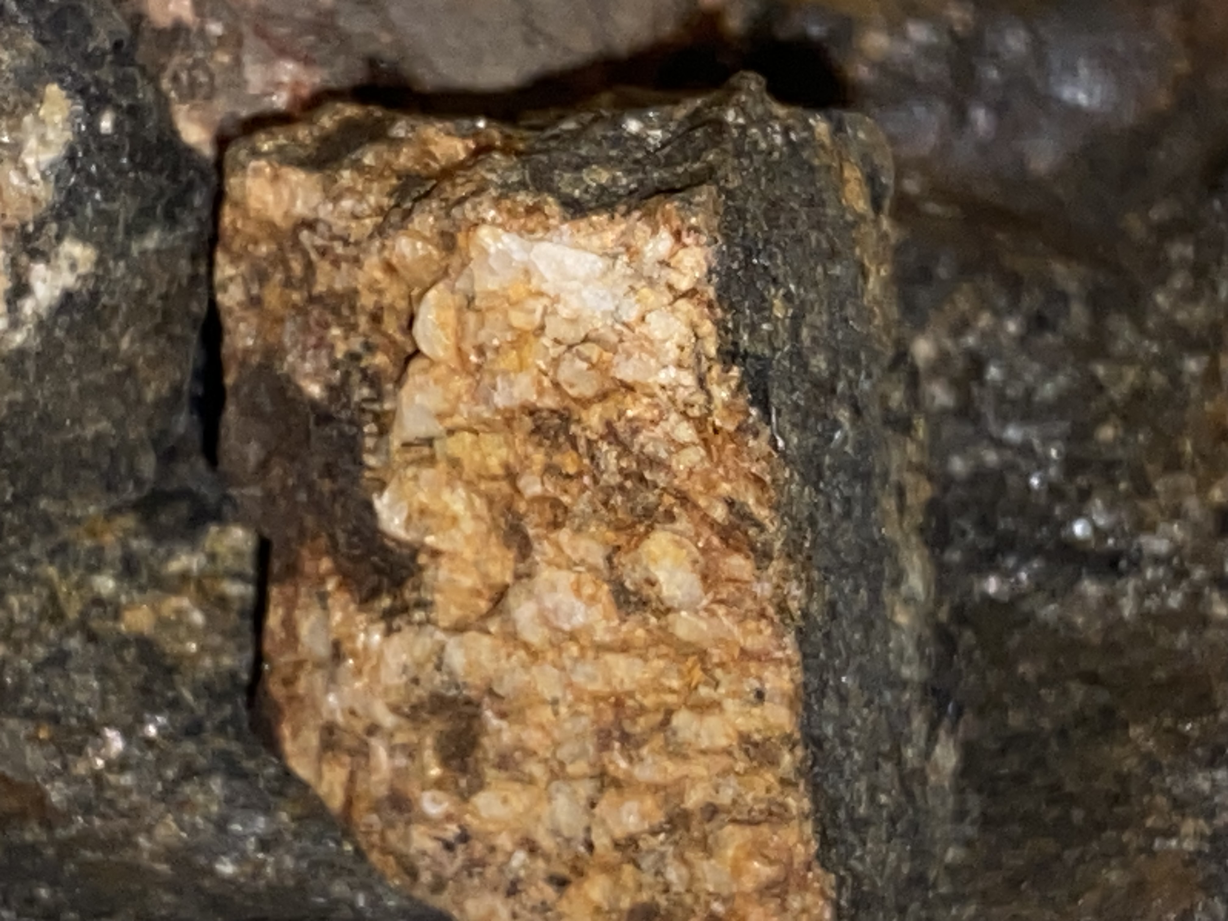
The rocks that contains these crystals in a variety of different colors and in a fairly large amount is solid, very heavy, and is very hard
Lookin forward to get opinions on what this might be
Best regards Lene
Ps I have loads of pictures so feel free to ask for more detailed visual clues